
Good weather calls on Mount 7 come from stacking sources, not trusting one. A wind sensor sits on launch, a soaring model runs the day ahead, the airport reports wind on the valley floor, and a webcam shows whether the sky is building. We walk you through each one: what it shows, how to read it, and where the official version lives.
1,935 m
Launch sensor (Holfuy)
785 m
Valley station (CYGE)
1 kt = 1.85 km/h
Wind barb conversion
05:30 to 22:00
Launch sensor hours, MDT
Real-time Wind at the Mount 7 Launch
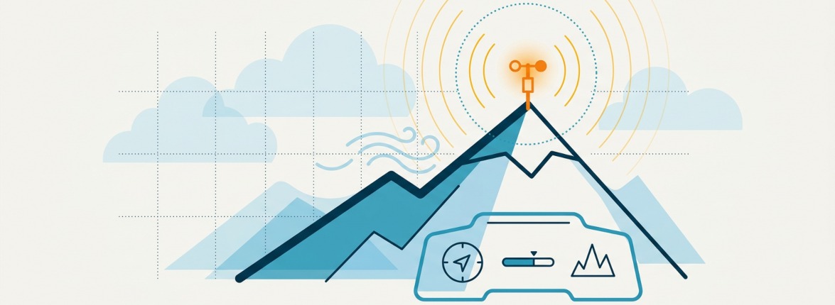
The most useful single reading is the Holfuy sensor on the Lookout, listed as Mount 7 Lookout Launch at roughly 1,935 metres. It shows current speed, gust and direction, refreshes through the flying day, and reports from about 05:30 to 22:00 mountain time. The station runs on pilot donations rather than any agency, so treat it as a community tool that can go offline.
One sensor speaks for one spot on a big mountain. A reading that looks flyable at the sensor can sit next to strong cycles or lee flow a short distance along the ridge, so use it as a starting point and confirm with your own eyes on launch.
- Live station: holfuy.com/en/weather/1127
Valley and LZ Wind Readings
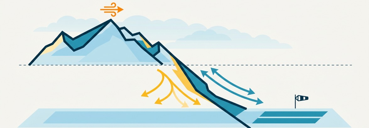
Golden Airport, code CYGE, sits on the valley floor near 785 metres and gives a steady read on wind down low. Hourly observations are published by Environment and Climate Change Canada and through NAV CANADA’s aviation service. Any windsock or small station at the landing field adds a second valley data point when it is running.
Reading launch against the valley is where the value is. A big split between a light valley and a strong launch often points to a working, possibly overdeveloping day, while a valley wind that climbs to meet launch can signal the thermal window closing or a front moving in.
- Golden Airport observations: weather.gc.ca (search Golden) and the NAV CANADA site below
Reading RASP Windgrams for Golden

Canada RASP publishes windgrams, a soaring-specific forecast built from Environment Canada model data by Andrew Berkley and Peter Spear. Golden is one of the listed sites. Each windgram stacks the day left to right and altitude bottom to top, so you can see when lift starts, how high it reaches, and what the wind does through the column.
Three things to read first: the wind barbs give direction and speed in knots at each height, with green barbs flagging winds under about 10 mph; the paraglider marker shows the top of usable lift for a given sink rate; and the coloured background is the lapse rate, where red means unstable air and, if it runs high, overdevelopment or storms. A windgram is a forecast, not a promise, so compare it against how the day actually behaves.
- Windgrams: canadarasp.com/windgrams (search Canada RASP)
Hour-by-hour and Upper-wind Forecasts
For timing, an hour-by-hour forecast beats a daily summary. Environment Canada and the Norwegian service yr.no both publish hourly wind, cloud and precipitation for Golden. For what the air is doing well above the valley, the upper winds matter as much as the surface: a calm valley can hide a strong gradient a few thousand feet up.
NAV CANADA carries the aviation picture: METAR and TAF for Golden plus FD upper-wind (winds aloft) forecasts. Windy is handy for scanning model wind at different heights across the valley. Read these together rather than trusting any one of them.
Webcams Around the Columbia Valley
A camera answers questions a number cannot: is it overdeveloping, is there cloud on the peaks, is the launch road still under snow. A few views cover the valley well.
- NAV CANADA aviation weather camera at Golden Airport, for valley cloud and visibility
- DriveBC highway cameras on Highway 1 near Donald and on Highway 95, for sky to the north and south
- Kicking Horse Mountain Resort cameras, for a west-side view across the valley
Wind Barbs: Knots and Km/h
Aviation and soaring charts show wind in knots as barbs. A half barb is 5 knots, a full barb is 10 knots, and a pennant is 50 knots; add them up for the total. On Canada RASP a green barb means the wind is under about 10 mph. Since most pilots think in km/h, here is the quick conversion.
Knots | km/h | mph | Feel |
|---|---|---|---|
5 | 9 | 6 | Light |
10 | 19 | 12 | Pleasant |
15 | 28 | 17 | Getting strong |
20 | 37 | 23 | Strong for PG |
25 | 46 | 29 | Marginal to nuking |
The rule of thumb: 1 knot is 1.85 km/h, so double the knots and add a bit to reach km/h.
Seasonal Weather Patterns for Pilots
Golden weather follows a fairly predictable arc. Spring, from May into mid-June, brings high lapse rates: strong afternoons, cold air aloft, and frequent overdevelopment by midday. June stays unstable. From late June to about mid-July it can be wet, then the pattern settles and mid-July to mid-August becomes the reliable cross-country window. Into autumn the air calms and climbs drop off, so flying stays lower and closer to the hill.
One modern addition worth a check in summer: wildfire smoke. Smoke drifting in from Alberta or the BC interior can cut visibility and push the air quality index up for days at a time. Environment Canada’s air quality health index flags it, and it is worth reading alongside the wind before a big flight.
Official Sources and Links
Each link below goes to the group that runs the data. Go to them for the live version and for anything you would base a flying decision on.
- Holfuy, Mount 7 launch sensor: holfuy.com/en/weather/1127
- Canada RASP, soaring windgrams: canadarasp.com
- Environment and Climate Change Canada, Golden forecast, hourly and past conditions: weather.gc.ca
- yr.no, hour-by-hour forecast (Norwegian Meteorological Institute): yr.no
- NAV CANADA, aviation weather (METAR, TAF, upper winds, cameras): plan.navcanada.ca
- Windy, model wind at altitude: windy.com
- DriveBC, highway cameras: drivebc.ca
- Kicking Horse Mountain Resort, valley cameras: kickinghorseresort.com
- HPAC, membership and insurance to fly the site: hpac.ca
A Note on Using This Data
The readings and forecasts described here come from third parties and are not guaranteed. This page does not operate any sensor, model or camera, and it is not an official weather service. Mountain weather at Mount 7 can change fast and vary within a short distance, so cross-check the official sources above, use current on-site judgement, and never launch on a single number.